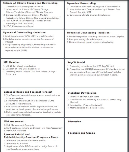
The training program's initial course concentrates on three main areas: climate change, atmospheric science, and downscaling techniques. Participants are taught various statistical and dynamical methods to downscale weather forecasts, allowing them to apply these techniques at the local level.
By acquiring these skills, individuals are prepared to evaluate specific climate challenges and devise appropriate adaptation strategies for their region or community. The course aims to provide practical knowledge that connects global climate models with local-scale impacts, enabling informed decision-making in the face of climate change.
Course 1 - modeling methods
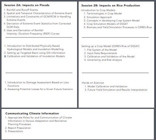
Course 2: Parallel Sessions on Impacts on Floods and Impacts on Rice Production
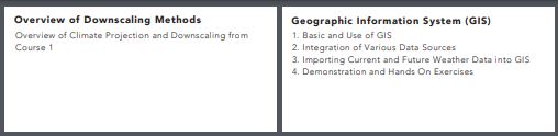
For the second course, participants will receive an overview of Course 1 and receive training on Geographic Information System (GIS). Then, participants can choose from the two parallel programmes on;
- Assessing flood impacts and
- Estimating rice production utilizing future climate projections.
The final day provides training on communicating results and report preparation, with time allocated for participants to complete their final report. Participants who successfully complete the training programme will be awarded a certificate of completion from UNU-IAS.